Monday, July 7, 2014

Home at Last

We arrived home on June 10th.  Eight weeks is a long time to be gone.

We stayed one step ahead of severe storms and tornadoes all the way home with one missing us in the Wy/ NE area by less than a mile.

Since one of the main themes of this trip was to see the major dams along the way, I thought it would be only appropriate to end this trip with pictures of the dam most dear to Steve's heart - The Eagle Creek Dam and Reservoir near Indianapolis.  He worked on this project during our time in Indianapolis.  Many of the features of this dam we saw on a much larger scale on many of the dams out west.


So with this, I end the 2014 trip.  It was a good trip with no major issues.  The west and northwest are beautiful parts of our country.      Love to all.

Wednesday, June 4, 2014

Go East Young Man....Go East!!

Well....we have finally turned the corner.  For the first time in 46 days we headed east. on Saturday May 31, 2014.

On the way east out of Portland Oregon we traveled along the Columbia River.  
We passed two additional dams.

The first is The Dalles Dam and Locks


The next dam and the third one from the mouth of the Columbia is the John Day Dam and Locks.


So, we will be traveling east as we make our way home.

Bonneville Dam and Locks in the Columbia River


The Bonneville Dam and Locks are the first set up the Columbia River from the Ocean.  The power generated is sent to Portland Oregon and also to California.


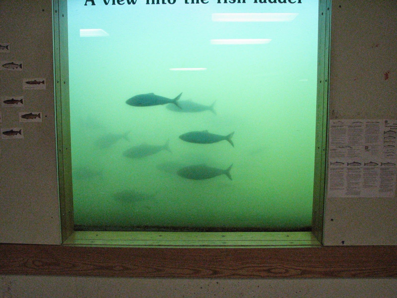
This is a portion of the fish ladder that transports fish around the dam and locks.


A picture of the turbines at the power plant.


This plastic tube moves fish around the dam.


The dam is open because another dam up river under maintenance.


Another view of the fish ladder.


The upper end of the lock on the river.  The lock raises and/or lowers the river level 60 feet to move a ship either up river or down river,.


Sunday, June 1, 2014

Mount St. Helens


Mount St. Helens erupted on May 18, 1980.  The eruption blew out the side of the mountain and what you see now is a hollowed out mountain top.


The eruption blew ash and pumice over move than 150 square miles in what is called the blast area. The rock and ash filled in Silver Lake which sat at the foot of Mount St.Helens.  The water run off has begun to carve its way through the ash in the valley basin.  The area now at the foot of the mountain looks like moon scape.


All the folks who died but two were located outside the evacuation zone that the sciencists thought would be effected by the blast.  Most were caught in the tremendous mud slide that followed the eruption caused by the hot ash melting the snow covered mountain.  

Oregon Coast north to Pacific City Oregon


The Oregon coast on a sunny beautiful day!


The Lighthouse at Heceta Head


Sea Lions along the coast.  You can hear them barking before you see them


Pretty sharp rig!!!


A very pretty drive along the coast.  Sunshine, ocean, sand---what else could you want?


At Pacific City, Oregon there is a beautiful beach.  It reminds you of Daytona where truck and cars drive on the beach and park at the ocean's edge.  The beach attracts both water surfers and sand surfers.


The huge sand dune provides fun for all. Folks climb up and then slide or ski down on all sorts of rigs from cardboard to skis.


The water surfers all can do their thing too.  The waves come and go all day with the morning the best waves.


We watched as the sun set on the ocean.


The next morning I knew it was going to be a good day....Look at the rainbow God Sent!


Friday, May 30, 2014

Coos Bay Oregon and Cape Arago


Coos Bay Oregon is a quaint old fishing town.  It looks weathered and somewhat run downed.  But driving south of Coos Bay on a finger into the ocean is an area called Cape Arago.  It is naturally beautiful with tree lined roads along the Pacific Ocean.


 This area is called Sunset Bay


 This is the Lighthouse at Cape Arago and sits on a rock hill which juts out into the ocean,


Along the Cape of Arago coast there is an area where Sea Lions and Seals rest in the sun soaking it all up. The light colored ones are the Sea Lions and the dark colored ones are the Seals.  You can hear them barking long before you find them sun bathing on the rocks.


Crater Lake and The Rouge River

The morning we left to drive to Crater Lake from Grants Pass the R V Park looked like it was in a cloud.


The road looked just the same.  The whole area was in a cloud.  Really pretty but a little strange to drive in.


Yes folks...there is still snow in them there hills!


Crater Lake was beautiful.  The air was cold  around 41 degrees.

The Lake is at an elevation of 4169 feet give or take but the peaks around it are as high as 8600 feet.  The lake look like a bowl of blue jello.


To see the lake you had to walk up a snowy embankment.  So as I took these pictures Steve was hanging onto my coat tail so I would not slide into the lake.  We met some students from Holland who were on a three week trip through the area. They were interesting to talk with and I took their picture for them all stand at the edge of Crater Lake.


The Rouge River rambles through southern Oregon and is usually a wide meandering rafting river but....
coming down from the Crater Lake area the river sources through a gorge about 500 feet long and is quite a site.


The drive was like being in a tree tunnel;)